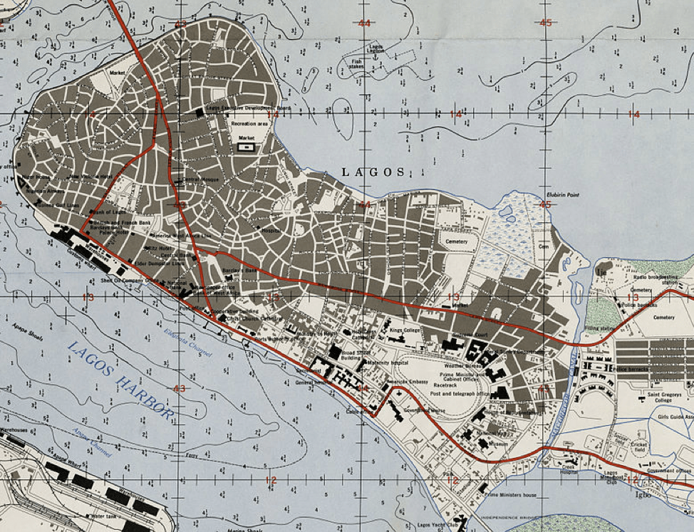
Imagine Lagos: Speculative Cartography and the Making of a 19th Century African City
Ademide Adelusi-Adeluyi
History
UC Riverside
“Imagine Lagos” is a spatial history of Lagos between 1845 and 1868, between a civil war and the early years of Lagos’s absorption into the British Empire. It takes into account Lagos’s role at the center of a lagoon community made up of four hundred miles of lakes and lagoons that run parallel to the Atlantic Ocean, framing cities such as Badagry and Porto Novo. “Imagine Lagos” creates new maps and texts to narrate a history of Lagos life. By placing mapmaking into conversation with historical narratives, the project offers a new methodological approach to the history of West African cities in the nineteenth century. The project also pushes readers to imagine Lagos as it must have been, and offers a variety of spatial and textual interpretations as the basis for doing so. “Image Lagos” argues that the analysis of indigenous spatial practice reveals important aspects of ordinary people’s historical agency, and thus, by examining the ways that they constructed and represented their cities, the project provides clear insights not just into the political and economic history of the city and region, but also insights into everyday life.


